
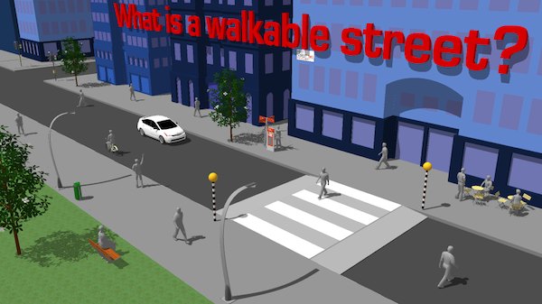
No form of transportation is more edited that walking. Tires are your shoes. Parking is your chair. Fuel is dinner.
We’ve looked at Walkscore.com in the past. The site is a great resource for assessing a neighborhood’s walkability, showing proximity to various pedestrian-friendly amenities like restaurants and public transport. What the site might not convey is a comprehensive picture of what that walk would look like. Is the walk a stroll in the park or an advance toward enemy trenches?
A new site called Walkonomics tries to fill in these gaps in knowledge. Rather than relying on statistical information, Walkonomics crowd-sources information about particular streets. It looks for information like “road safety,” pavement and “fear of crime,” as well as intangible but important qualities like “fun and relaxing” and “smart [the site makers are English] and beautiful.”
The site reminds us of Waze, which crowd-sources traffic data and gives you corresponding directions. Walkonomics is not nearly as robust as Waze, nor does it appear to have a mobile app, which would be indispensable for this type of information–helping you to decide on-the-spot whether to walk down that dark street or not.
The site is pretty beta and mostly covers major urban areas like London, San Fran and NYC. Even the latter city, arguably the most walkable in the US, has huge gaps in information. That said, users can take it upon themselves to enter data about their particular streets and beef up Walkonomic’s data.